
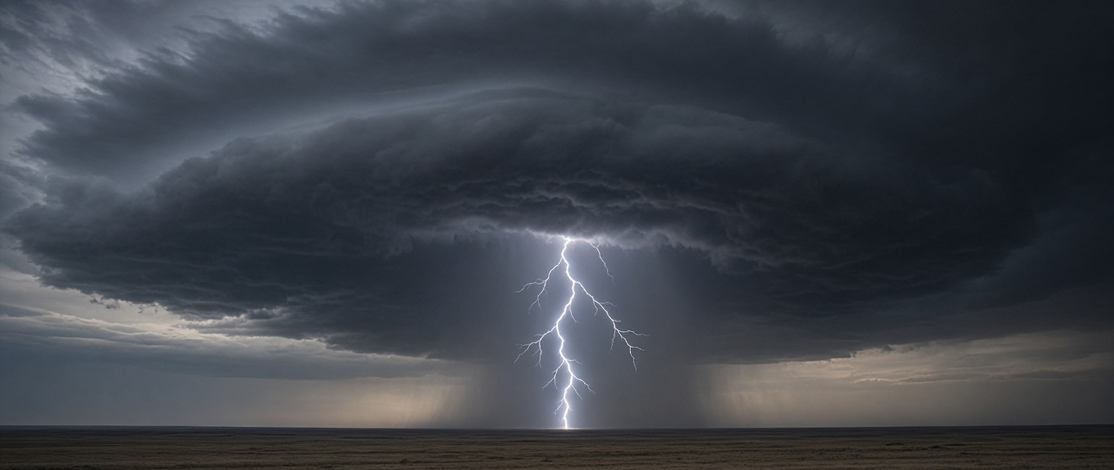
Today’s weather briefing covers the arrival of Storm Boelo in northern Britain a day after Storm Austen, severe flooding in the Four Corners region of the United States, the rapid strengthening of Hurricane Vance off Mexico, a developing cyclone threat in the Bay of Bengal, and Alabama’s request for federal aid after Hurricane Isaias.
Storm Boelo heads for northern Britain as Austen leaves thousands without power
A second named storm was moving into the UK on Saturday, a day after Storm Austen battered south-west England. The Met Office issued an amber wind warning, its second-highest level, for Scotland and northern England down to Carlisle from 9pm on Saturday to 9pm on Sunday, and another for the north-east of Northern Ireland until 10am on Sunday. It said Storm Boelo could bring gusts of up to 80mph in places, with a risk to life from flying debris and large waves.
Austen brought gusts of 111mph to Cornwall on Friday, and at one stage 31,000 homes in the South West lost electricity; more than 3,700 were still without supply on Saturday morning, according to National Grid. Part of the West Pier in Brighton fell into the sea and flights from Exeter Airport were cancelled. Rail operators advised against non-essential journeys in northern England over the weekend, Irish Sea ferry crossings were disrupted, and London’s Diwali on the Square event was called off.
The Met Office named Boelo on 22 October as the second storm of the 2026–27 season, which British, Irish and Dutch forecasters run jointly, after naming Austen on 20 October. The storms follow a summer of severe drought in southern England, and forecasters said rainfall could exceed 100mm in a day on high ground in Scotland. The Prime Minister warned on Friday that the country could face a winter of greater flooding, as climate change disrupts rainfall patterns and drives more extreme weather.
Floods in the US Four Corners region force rooftop rescues and evacuations
Severe flooding hit the Four Corners region of the south-western United States on Friday, where Arizona, Colorado, New Mexico and Utah meet, leaving roads impassable and forcing rescues, some of them from rooftops. Residents of low-lying parts of Colorado and New Mexico were told to leave, while others were advised to stay put until the water receded. About 4 inches of rain had fallen since Wednesday on ground already soaked by two months of heavy rain that ended a summer drought.
In Farmington, New Mexico, the largest city in the area, some 600 households along the San Juan River were told to evacuate, and police chief Steve Hebbe called it a once-in-a-generation event as more water arrived via the Animas River. San Juan County spokesperson Devin Neeley said crews were using National Guard boats, helicopters and amphibious vehicles to reach people in homes with 3 or 4 feet of water. Navajo Nation police urged residents downstream to evacuate without delay.
The Four Corners takes its name from the only point in the United States where four states meet, marked by a monument. Much of the region belongs to Native American nations, the largest being the Navajo Nation, and it forms part of the rugged, arid Colorado Plateau. Rocky terrain with little vegetation makes parts of the area naturally prone to flash floods, and forecasters said the recent moisture came from the remnants of Pacific tropical systems, with more rain expected over the weekend.
Hurricane Vance strengthens rapidly off Mexico’s Pacific coast
Hurricane Vance strengthened rapidly into a Category 2 storm on Friday as it approached Mexico’s Pacific coast, and the US National Hurricane Center said it could become a major Category 3 hurricane. In its latest advisory, the Miami-based centre said Vance had maximum sustained winds of 110 mph (177 km/h) and was located about 385 miles (620 kilometres) south-south-west of Acapulco, with forecasters watching closely as the system drew nearer to land.
The system began as an area of interest that the centre started monitoring south-west of Mexico on 18 October. It became Tropical Depression Twenty-Two-E on the afternoon of 21 October and was named Vance soon afterwards, when it lay about 520 miles south of Acapulco. Satellite images released by the National Oceanic and Atmospheric Administration showed it gaining strength as a tropical storm on Wednesday and as a hurricane by Friday, as it moved over warm open water.
The eastern Pacific season, which began on 15 May and ends on 30 November, has produced the highest accumulated cyclone energy on record in the basin, surpassing 2018. Three hurricanes reached Category 5 this year, Genevieve, Lowell and Polo, tying the record held by the 1994, 2002 and 2018 seasons. Earlier in October, Hurricane Trudy reached Category 3 strength before weakening. A typical season between 1991 and 2020 produced about 15 named storms, 8 hurricanes and 4 major hurricanes.
Cyclone threat in the Bay of Bengal prompts warnings in India and Nepal
A low-pressure area that formed on Friday over the Bay of Bengal is expected to strengthen into a cyclonic storm by Monday and head towards the coast of northern Andhra Pradesh and southern Odisha in India, according to Nepal’s Department of Hydrology and Meteorology. The India Meteorological Department said the system would pass through the depression and deep depression stages before reaching cyclonic storm strength early on Monday over the west-central part of the bay.
In Tamil Nadu, fishermen were advised not to go to sea for five days from Sunday to Thursday, 29 October, and the Chennai weather office forecast heavy rain, thunderstorms and gusts of 40 to 50 km/h in several districts. In Nepal, forecasters said the system could bring rain to much of the country and snow to the high Himalayas between 28 October and 1 November, with heavy downpours possible in Kathmandu and 28 districts. Farmers were urged to protect ripening rice and harvested crops.
The North Indian Ocean has no official cyclone season, but most storms form between April and December, with a peak from May to November, and on average three to four cyclonic storms develop there each year. The India Meteorological Department is the official regional centre for the basin. Earlier this year, a depression that formed over the north-west Bay of Bengal in late July brought heavy rain and flooding to Odisha, where 8 people were killed, and caused further deaths elsewhere in India.
Alabama asks for federal disaster aid after Hurricane Isaias
Alabama Governor Kay Ivey asked the Federal Emergency Management Agency on Friday to declare a major disaster after Hurricane Isaias caused damage in 23 counties of the state. If approved, the declaration could help local governments and some nonprofit groups pay eligible costs linked to the storm, and it could also make assistance available to affected households. The request covers counties including Baldwin, Escambia, Houston and Dallas, and the state said more could be added as information emerges.
Ivey said assessments showed the hurricane had caused significant damage in communities across parts of Alabama, affecting individual homes as well as public infrastructure. She said support from the federal agency was critical for states like Alabama and that she hoped the request would be granted so that residents could recover quickly. Damage reported in the state included the roof of a petrol station structure being ripped away, and officials said their assessments of the storm’s impact were still continuing.
Isaias formed in the Bay of Campeche on 6 October and reached hurricane strength on 8 October, tying the 1905 season for the latest first hurricane of an Atlantic year. It briefly became a major Category 3 hurricane before making landfall near Destin, Florida, on 10 October with maximum sustained winds of 105 mph, the first hurricane to strike the United States since Milton in 2024. At least nine deaths were recorded in the United States after the storm moved inland and weakened.