
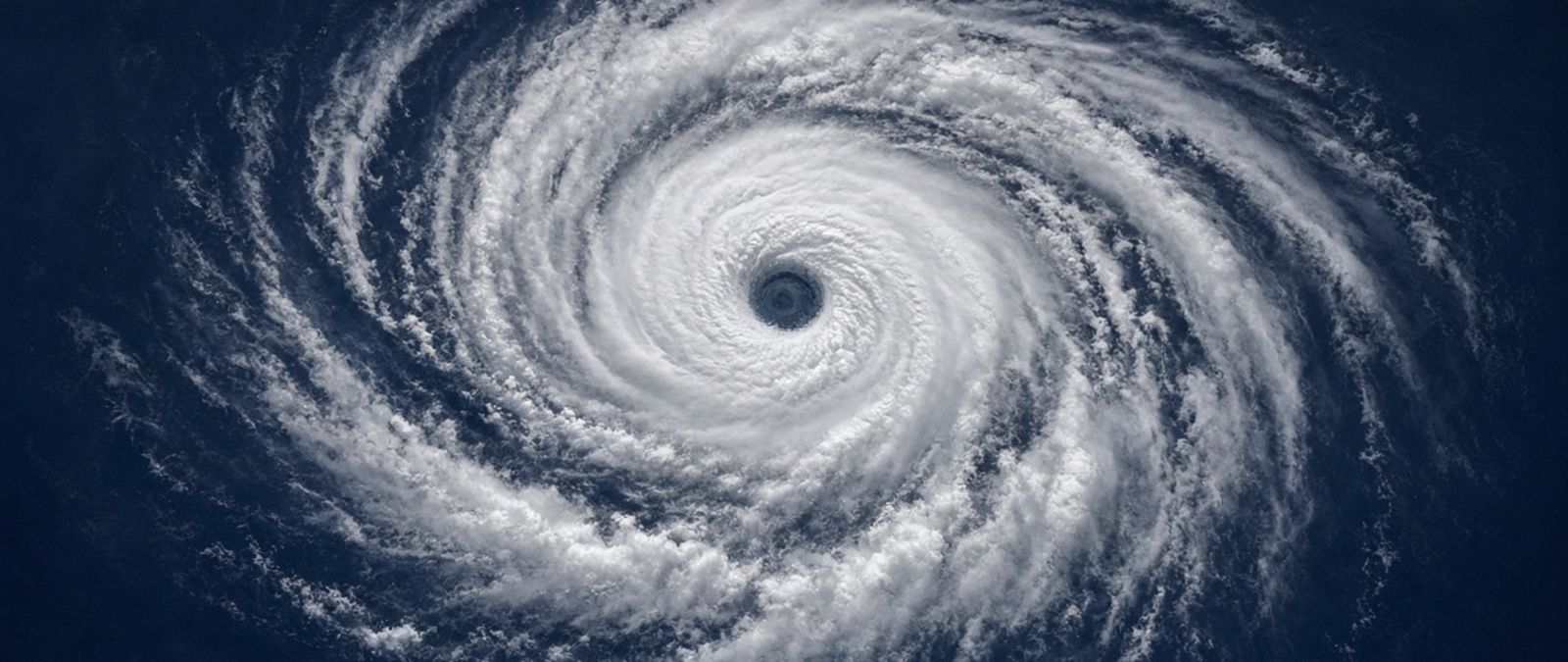
A Bay of Bengal system is expected to become Cyclone Akvan and disrupt Andaman ferries, Hamas appeals for aid as floods damage shelters in Gaza, two storms head for California’s Sierra Nevada, Telangana seeks federal help over drought, and Rajasthan issues a rain alert for six districts.
Bay of Bengal system expected to become Cyclone Akvan as Andaman ferries face disruption
The low-pressure system over the Bay of Bengal that India’s weather office flagged on Friday is expected to strengthen into a cyclonic storm, to be named Akvan, over the central Bay by the evening of Monday 16 November, after becoming a depression on Sunday. Shipping officials in the Andaman and Nicobar Islands warned that harbour, vehicle and inter-island ferries, including services from Sri Vijaya Puram, formerly Port Blair, could be delayed, suspended or cancelled at short notice.
Heavy rain is forecast over the islands through Monday. The storm is expected to track north-north-west, bringing heavy rain to Odisha and coastal Andhra Pradesh on 18 and 19 November, with Ganjam, Gajapati, Puri and Khordha among the districts at risk and very heavy falls possible in places on 19 and 20 November. Winds of 65 to 75 kilometres an hour, gusting to 80, are expected from 17 November. Fishermen were told to return to the coast by Sunday, and no landfall point has yet been forecast.
Akvan would follow Cyclone Arnab, which formed on 24 October as the season’s first named storm, and Cyclone Murasu, both of which struck the coast of Andhra Pradesh; the state reported economic losses of more than $750m from the two storms. Arnab was unusually late for a first named cyclone in a basin that usually produces them in April and May. The islands’ lieutenant governor said the administration and the armed forces were prepared, and coastal authorities in Odisha have told district officials to stay ready.
Hamas appeals for emergency aid as floods damage shelters across Gaza
Khalil al-Hayya, a Hamas leader, has called for an international emergency relief campaign for Gaza after heavy rain flooded camps for displaced people and damaged thousands of temporary shelters, the group said. In letters to Arab and Muslim governments, he requested tents, fuel, heating supplies and the equipment needed to fix damaged drainage and sewage systems, and he asked the United Nations Security Council for an urgent open session on the deepening crisis in the territory.
Al-Hayya said conditions were deteriorating because of Israeli restrictions on aid and reconstruction materials and the destruction of homes and infrastructure. He called for more international pressure on Israel to carry out the ceasefire agreement in full, including a complete withdrawal and the humanitarian protocol signed in Sharm el-Sheikh, and sought unhindered access for UN agencies and aid groups and the entry of the Palestinian committee chosen to run the territory. Hamas said he had also contacted the countries mediating the truce.
The United Nations humanitarian office says the flooding has affected more than 200,000 Palestinians and damaged shelters housing over 40,000 families, while the World Health Organization has warned that 950,000 displaced people live in flood-prone areas, more than 400,000 of them in high-risk zones. Gaza’s government media office said about 70,000 tents were flooded within 12 hours of the first winter storm on 7 November. Makeshift tent camps have repeatedly been inundated by heavy rain, leaving families to shelter in the mud.
Two more storms forecast to bring heavy snow to California’s Sierra Nevada
Forecasters expect two more storms to cross California’s Sierra Nevada this week, with the larger and colder system arriving on Wednesday and lasting into Thursday, and favoured locations could gain roughly two to four feet of snow by Friday. The first storm is expected to reach the Tahoe area on Sunday night, drop most of its snow on Monday morning and move south towards Mammoth in the afternoon, with snow levels falling from around 6,500 to 7,500 feet to 5,000 to 6,000 feet.
Forecast totals from Sunday to Friday include 31 to 51 inches at Kirkwood, 30 to 48 at Palisades Tahoe and 27 to 46 at Mammoth, although models differ on where the heaviest midweek snow will fall. Ridge gusts could exceed 70 mph, moving snow around and limiting exposed skiing. Southern California should see much smaller amounts, about an inch on higher ground from a weaker pulse on Monday night and Tuesday, with another light round on Thursday and Friday. A drier weekend is favoured afterwards.
Early-season skiing remains limited: Mammoth is open, a small amount of terrain is operating at Mt. Rose, and Snow Summit and Bear Mountain are still closed, so the storms mainly help resorts build their bases. Mammoth Mountain, a lava dome complex in Mono County formed in eruptions that ended 57,000 years ago, hosts a large ski area. Forecasters see another Pacific storm signal around the middle of Thanksgiving week, but they say its timing and moisture are still uncertain.
Telangana’s chief minister seeks federal help over drought
Telangana’s chief minister, A. Revanth Reddy, was travelling to Delhi on Sunday to ask India’s central government for urgent financial assistance as drought affects many parts of the southern state. He was accompanied by the irrigation minister, N. Uttam Kumar Reddy, and the two were due to meet Prime Minister Narendra Modi to seek support in dealing with the effects of El Niño, deficient rainfall and the drought conditions prevailing across Telangana.
The state delegation planned to describe the situation on the ground to the prime minister, pointing to the severe impact on farmers, agriculture and rural livelihoods. It was to request immediate help to limit crop losses, ease the hardship faced by farming families and bring relief to the areas worst hit by the dry conditions. The state government said it was looking for firm joint action by the federal and state authorities to shield farmers and help Telangana cope with what it described as a growing drought challenge.
Telangana is a semi-arid state with a predominantly hot and dry climate, and most of its rain comes from the south-west monsoon, with annual totals of 700 to 900 mm in the south and 900 to 1,500 mm in the north. Although about 79 per cent of the Godavari catchment and 69 per cent of the Krishna catchment lie in the region, most of its land is arid. El Niño events tend to reduce rainfall over India and are among the principal drivers of year-to-year changes in the summer monsoon.
Rajasthan issues a rain alert for six districts as clouds spread
India’s weather department issued a yellow alert for rain on Sunday in six districts of Rajasthan: Jaipur, Nagaur, Didwana-Kuchaman, Kotputli-Behror, Sikar and Jhunjhunu. Radheshyam Sharma, director general of the Meteorological Centre in Jaipur, said isolated areas could see thunderstorms, light to moderate rain and winds of 30 to 40 kilometres an hour, and he advised people not to shelter under trees during storms. Clear weather was expected in the rest of the state.
Clouds covered Jaipur on Sunday morning. Over the previous 24 hours, light rain with thunderstorms fell in isolated parts of western and eastern Rajasthan, with the highest total, 12 mm, at Shri Dungargarh in Bikaner district. Days stayed warm and nights cool: Chittorgarh reached 36C and Barmer 35C, while Sirohi fell to 13.9C. Jaipur recorded a maximum of 32.4C, 2.7 degrees above normal, and a minimum of 18.6C, 3.7 degrees above normal.
The weather department said the rain could bring relief to farmers sowing rabi crops as a mild winter sets in. Also called winter crops, rabi crops go into the ground during the cold months and are gathered in spring across India, Pakistan and Bangladesh, and they complement the kharif harvest. The word rabi comes from a Persian term meaning spring, and the terms rabi and kharif came into wide use in India with the rise of the Mughal empire on the subcontinent.