
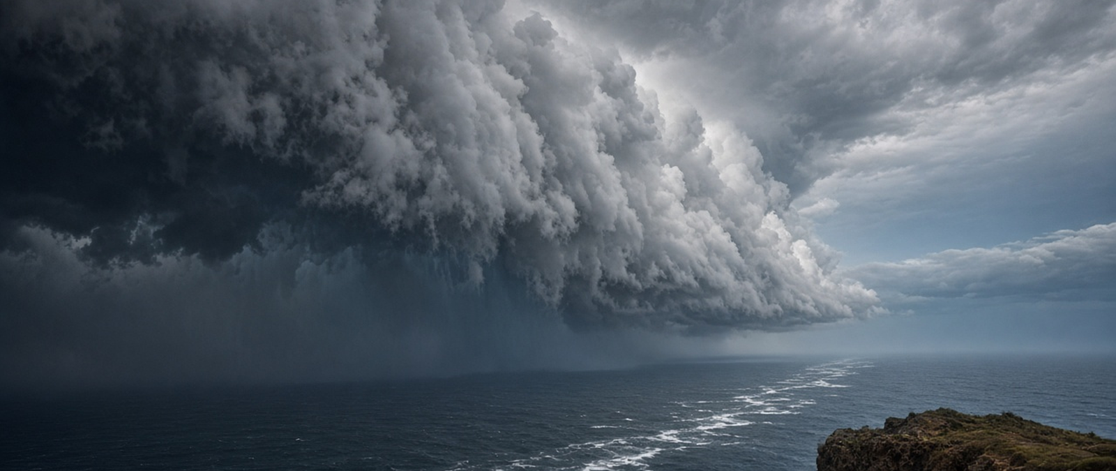
A Bay of Bengal system strengthens on its way to becoming Cyclone Akvan, snow and ice warnings cover northern Britain and parts of Ireland, Cyclone Xavier threatens the northern Cook Islands, a slow-moving front brings heavy rain and gales to New Zealand, and a sudden storm floods homes and businesses in a South African town.
Bay of Bengal system strengthens as India prepares for Cyclone Akvan
The weather system that India has been tracking over the Bay of Bengal since last week has moved north-northwest and strengthened into a deep depression, the India Meteorological Department said on Monday. The agency expected it to become a cyclonic storm over the south and west-central parts of the bay during the day, taking the name Akvan, and then to grow into a severe cyclonic storm over the west-central part of the bay on Tuesday.
Forecasts show the storm approaching the coast of Andhra Pradesh around 19 November, possibly as a very severe cyclonic storm with sustained winds of 120-130 km/h and gusts up to 145 km/h, with a possible landfall between Nellore and Tuni on 20 November. Heavy to extremely heavy rain is expected in Andhra Pradesh, Tamil Nadu, Puducherry and Odisha. Fishermen have been told to keep out of the Andaman Sea and the south-east of the bay, and thunderstorms are forecast over the Andaman and Nicobar Islands.
Akvan, a name put forward by Iran under the regional naming system, would be the third cyclone threat in the bay within a few weeks. Cyclones Arnab and Murasu struck the east coast of southern India in quick succession earlier in the season, hitting Andhra Pradesh hardest, where losses exceeded US$750 million and 30,000 people were evacuated from the path of Murasu. The basin usually produces three to four cyclonic storms a season, most of them between April and December.
Snow and ice warnings cover northern Britain and parts of Ireland
The Met Office has issued a yellow snow warning for a large part of the UK from midnight to midday on Tuesday, stretching from the Midlands across northern England to parts of southern Scotland, as a band of rain moving north runs into colder air. Where snow settles, 1-5cm is likely, with 5-15cm possible above 300-400 metres, and forecasters warned of delays on higher roads and railways, possible power cuts and ice forming on power lines.
Met Office meteorologist Aidan McGivern said gusts of 50-60 mph could bring drifting snow and blizzards to upland parts of northern England and southern Scotland, although most people would see rain rather than wintry weather. A yellow ice warning also covered parts of northern England and Scotland until Monday morning. In Ireland, Met Éireann issued yellow wind and rain warnings for seven counties, including Cork, Kerry, Galway and Donegal, where sleet or snow was possible on high ground.
The UK Health Security Agency has a yellow cold health alert in force for north-west and north-east England and for Yorkshire and the Humber until Thursday, warning of a greater risk to vulnerable people. Further south, temperatures are expected to climb above average by midweek. The Met Office, the national weather service, was founded in 1854 and began issuing gale warnings after a storm in October 1859 wrecked the Royal Charter off Anglesey with the loss of 459 lives.
Cyclone Xavier brings storm warnings to the northern Cook Islands
A storm warning is in force for the atolls of Manihiki and Rakahanga in the northern Cook Islands after Tropical Cyclone Xavier strengthened into a category 1 system on Sunday night, the Cook Islands Meteorological Service said, while a warning for Penrhyn has been lifted. Damaging gales of up to 85km/h with gusts of 120km/h were expected, rising to 95km/h with gusts of 130km/h later on Monday night, together with heavy rain and thunderstorms.
The meteorological service urged residents to tie down or put away loose objects around their homes and properties, and told fishermen not to go out to sea while conditions remained unsafe. The cyclone was moving gradually through the northern group of islands. The Fiji Meteorological Service, which names tropical cyclones in this part of the Pacific, had started monitoring the disturbance on 12 November, when it formed about 1,526 km north-east of Samoa in conditions that favoured its development.
Xavier comes early in the 2026-27 South Pacific season, which officially began on 1 November and runs until 30 April, after Cyclone Wati formed in October. Regional forecasters had predicted seven to eleven tropical cyclones this season as a strong El Niño develops. Manihiki, known as the Island of Pearls, is a coral atoll of about 43 islets surrounding a deep lagoon, lying roughly 1,299 kilometres north of Rarotonga, the island where the Cook Islands capital is located.
Slow-moving front brings heavy rain and gales to New Zealand
A slow-moving front brought heavy rain and gales to parts of New Zealand on Monday, with MetService issuing a severe weather warning for the western South Island, the Tararua Range and the capital region. An orange heavy rain warning covered the Tararua Range from 4pm on Monday to 6am on Tuesday, with 100-150mm of rain expected and peak rates of 20-30mm an hour in the evening, and another burst possible on Tuesday afternoon.
Similar warnings applied to the ranges of the Buller, Grey and Westland districts and to the headwaters of the Canterbury lakes and rivers near Arthurs Pass. MetService warned of rapidly rising rivers, surface flooding and slips, although it said an upgrade to red was unlikely, and strong wind watches covered the Canterbury High Country, Wellington and Wairarapa. The national transport agency asked riders of motorcycles and drivers of campervans and towing vehicles to take extra care and to avoid floodwater.
The Tararua Range runs for about 80 km from near Palmerston North to the upper Hutt Valley in the south of the North Island, and its highest peak, Mitre, reaches 1,570 metres. Most of it is wilderness protected within the Tararua Forest Park, and ten rivers rise on its slopes, supplying water to towns and cities from Palmerston North to Wellington. Residents of the warning areas were asked to clear drains and gutters, stay away from low-lying land and drive with care.
Sudden storm floods homes and businesses in the South African town of Parys
Heavy rain and severe thunderstorms caused serious flooding at the weekend in Parys, a town in South Africa’s Free State province, submerging several homes, uprooting trees and leaving roads blocked by fast-flowing water. Before the storm, the national weather service had put parts of the province under a yellow level 2 thunderstorm alert, cautioning of localised flooding, damage to property and settlements and possible disruption to electricity and communications.
Residents said the storm struck suddenly, with strong winds and downpours causing damage within a short time, and several described it as one of the worst they had experienced in years, with one saying he had seen nothing like it in about 10 years. Businesses were badly hit: one owner, Rikus Van Der Merwe, said around 128 millimetres of rain came down in about an hour, flooding his premises and washing away farm equipment and bales of oats.
The weather service’s forecast for 14-15 November had predicted isolated to scattered thunderstorms over the eastern parts of the country, becoming widespread over KwaZulu-Natal and Mpumalanga. Parys is a resort town on the southern bank of the Vaal River, named after Paris because a surveyor saw a likeness between its riverside setting and the French capital on the Seine. The arrival of a railway line in 1905 helped it grow into a holiday resort and an industrial centre.