
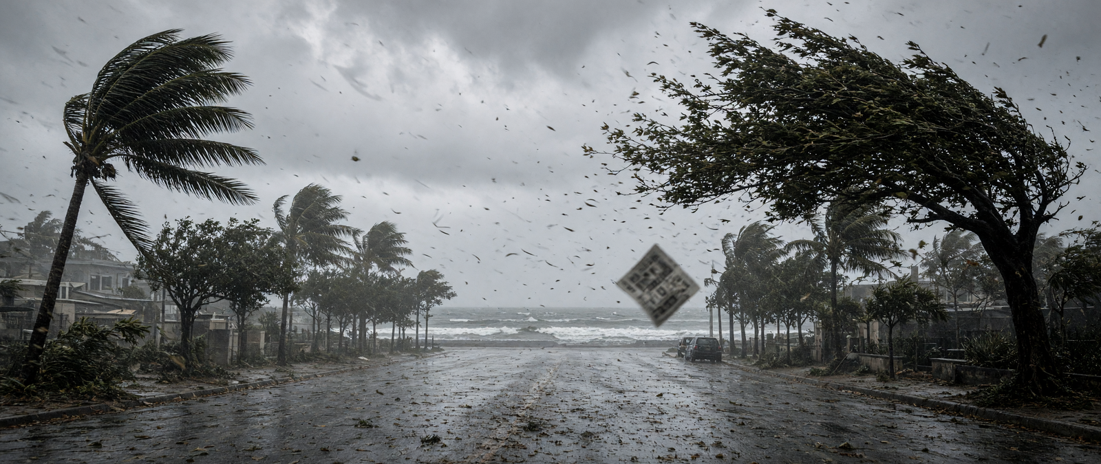
The UK is bracing for two named storms in quick succession, while Super Typhoon Champi bears down on Taiwan and eastern China. A subtropical storm is flooding parts of the US East Coast, storms are battering the South-west, and the UN warns that floods could uproot hundreds of thousands in Somalia.
Storm Boelo named as the UK prepares for two storms in two days
The Met Office has named Storm Boelo, the second named storm of the season, less than two days after announcing Storm Austen. Boelo is expected on Saturday and will mainly affect Northern Ireland, Scotland and northern England, the opposite end of the country from Austen. Deputy chief forecaster Chris Bulmer said gusts of 70 to 80 miles per hour were possible on exposed coasts and high ground, with 50 to 60 miles per hour more widely, alongside heavy rain.
Yellow wind warnings cover mainland Scotland, the Western Isles, Orkney, the far north of England and Northern Ireland from Saturday evening into Sunday. Austen, due on Friday, has prompted an amber warning for Cornwall and parts of Devon, including Plymouth, where forecasters warned of flying debris, travel delays and a danger to life. The operator Haven said it was closing two Cornish holiday parks, Perran Sands and Riviere Sands, and asking guests to leave, while Newquay cancelled a Halloween parade.
Windstorms of this kind are deep areas of low pressure that cross the North Atlantic, most often between October and March, and they regularly hit the UK, Ireland and the Netherlands. They cause the largest natural catastrophe insurance losses in Europe. The UK and Irish weather services began naming such storms jointly in 2015, inviting public suggestions, so that warnings would be easier to communicate, though a storm can still carry different names in different countries.
Super Typhoon Champi heads towards Taiwan and eastern China as one of the year’s strongest storms
Super Typhoon Champi is moving across the Philippine Sea towards Taiwan, the Ryukyu Islands and the east coast of China after reaching sustained winds of about 185 miles per hour, equal to the strongest storm recorded anywhere this year. US forecasters said its winds had eased to 175 miles per hour and that it should weaken through Thursday as it turns north-west. Forecasters expect it to pass close to Taiwan on Friday and reach the Chinese coast near Shanghai on Saturday.
Taiwan has issued a sea warning, and both Taiwan and mainland China ordered ships out of main shipping lanes. Airlines cancelled or rescheduled flights between Taiwan and Okinawa from Thursday, and US and Japanese commanders scaled back the joint Keen Sword exercise. Champi formed near Micronesia on 11 October and passed about ten miles south of Guam at the weekend, where airports, harbours and some health facilities were shut. Meteorologists said water temperatures near 30 degrees Celsius fuelled its rapid strengthening.
Typhoons and hurricanes are the same kind of storm, named differently by region: typhoon is used in the north-western Pacific and hurricane in the Atlantic and eastern Pacific. The Saffir–Simpson scale ranks such storms in five categories by one-minute sustained winds, with Category 5 starting at 157 miles per hour. Agencies outside the Atlantic and eastern Pacific often use longer averaging periods, which makes their wind figures hard to compare directly. Champi is the seventh Category 5 system of 2026.
Subtropical Storm Josephine forms off the US East Coast and floods the Outer Banks
Subtropical Storm Josephine formed on Wednesday a few hundred miles east of North Carolina’s Outer Banks, developing from a strong nor’easter that drew energy from the warm Gulf Stream. Its centre was later just under 200 miles south-south-east of Nantucket, moving north-east at about 13 miles per hour with sustained winds near 65 miles per hour. Forecasters said it could reach hurricane strength before losing its subtropical features over colder water, while staying south of Nova Scotia and Newfoundland.
The system has already brought days of high surf, beach erosion and coastal flooding to the Outer Banks, where water was forecast to rise two to four feet above ground through Thursday and waves of eight to twelve feet were expected. State transport crews reinforced dunes along Highway 12, but sections near Rodanthe became impassable after overwash damaged the road. Dare County had ordered visitors off Hatteras Island, and forecasters warned of strong winds on Mid-Atlantic and New England beaches.
A subtropical cyclone combines features of tropical storms, which draw their energy from warm sea water, and of the cold-core systems common in the mid-latitudes. Its strongest winds are often spread far from the centre. Debate over such hybrid storms grew in the Atlantic in the late 1960s, and in 1972 the US National Hurricane Center began classifying them as subtropical cyclones in real time. The first one to receive a proper name was Subtropical Storm Gustav in 2002.
Storms bring hail, flash floods and a rare tornado watch to the US South-west
Tropical moisture is driving a flood threat across seven states from California to Colorado, with about seven million people under flood watches. Forecasters said parts of the Desert South-west could get three inches of rain and isolated spots up to five, raising the risk of debris flows on burn scars and in slot canyons. Flagstaff recorded hail the size of golf balls and a gust of 72 miles per hour, and northern Arizona had its first tornado watch in more than 16 years.
In the Arizona town of Heber, a storm with a possible tornado damaged homes, cut power and left at least one person hurt, according to state representative Walt Blackman, who asked Governor Katie Hobbs to declare an emergency in Navajo County. The National Weather Service said it would survey the area to confirm whether a tornado touched down. In California, forecasters warned of thunderstorms along the Interstate 5 corridor north of Los Angeles and of flash flooding at Furnace Creek in Inyo County.
The South-west usually receives most of its storms during the North American monsoon, a seasonal pattern that draws moisture from the Gulf of California and the eastern Pacific over north-western Mexico and the south-western United States. It typically runs from June to mid-September, after which drier conditions return. Its thunderstorms are fuelled by daytime heating and are sometimes strengthened by the remnants of tropical cyclones, which can bring especially heavy rain to the region.
More than 800,000 people in Somalia could be displaced by floods, UN agency warns
The International Organization for Migration said more than 800,000 people in Somalia could be forced from their homes by flooding in the next three months, as the country enters a rainy season expected to bring above-average rain linked to a strengthening El Niño. Projections by the agency and the Danish Refugee Council put possible displacement between October and December at 874,319 people, with floods accounting for 92 per cent of the total. Rivers are already nearing the top of their banks.
Manuel Marques Pereira, the agency’s chief of mission in Somalia, said many families had been displaced before and had little left, and that the window to reduce the damage was closing. The agency said it had received only 14 per cent of the 16.62 million dollars it needs to prepare for and respond to the floods, which could also destroy crops and contaminate water. The UN weather agency said the current El Niño could be unprecedented in strength.
Somalia, in the Horn of Africa, has the longest coastline of mainland Africa and lies close to the equator, so its temperatures vary little through the year while its rainfall is irregular and hard to predict. Annual rain is under 100 millimetres in parts of the north-east but reaches 500 to 600 millimetres in the north-west and south-west. UN officials say Somalia, Ethiopia and Kenya need relief supplies in place within two weeks, before the heaviest rains arrive.