
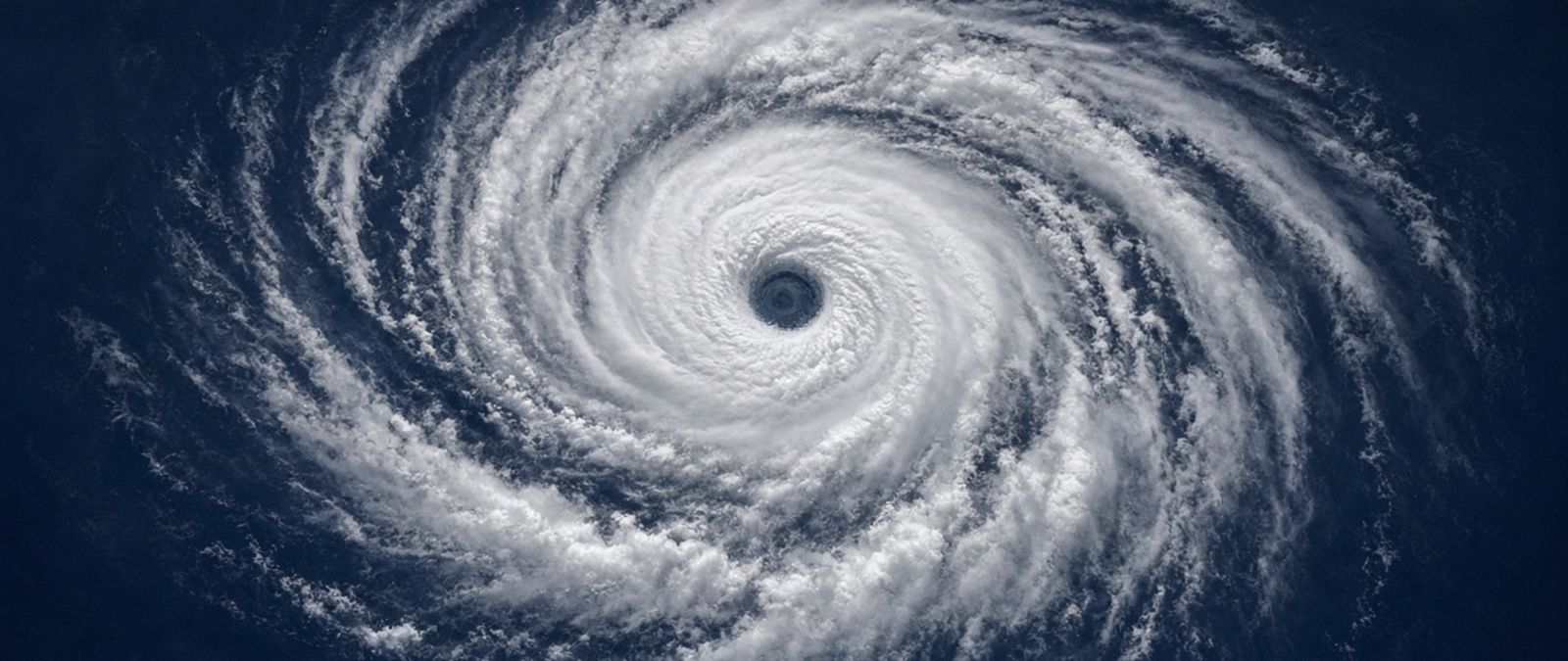
A tropical storm is strengthening far south of Hawaii, Storm Bruna is bearing down on Madeira, Andhra Pradesh is seeking emergency funds after a second cyclone, drought is feeding a record forest fire in New Hampshire, and Durban is bracing for severe thunderstorms.
Tropical Storm Pena strengthens south of Hawaii as forecasters rule out a direct threat
Tropical Storm Pena formed on Friday south-east of Hawaii from a low-pressure area that forecasters had watched for several days. By 11 p.m. local time it lay 570 miles south-south-east of South Point on Hawaii Island, moving west at 12 mph with maximum sustained winds of 50 mph, the National Hurricane Center said. Its forecast track keeps it well south of the islands, though it could become a hurricane early next week.
Although no direct impact is expected, a plume of moisture linked to the system dropped two to five inches of rain on windward parts of Hawaii Island from Thursday night into Friday. Forecasters in Honolulu said computer models disagree widely on the storm’s future strength. They are also tracking a second disturbance behind Pena that could raise the chance of showers on the southern windward coast on Sunday night and Monday.
Pena is the ninth tropical cyclone of the year in the central Pacific and the fifth to receive a Hawaiian name. Storms in the region are tracked from Honolulu by the Central Pacific Hurricane Center, whose operations were brought under the National Hurricane Center from June 1, 2025. The central Pacific season runs from June 1 to November 30, with the most active period usually falling between July and October.
Storm Bruna brings orange warnings to Madeira and is expected to send rain towards Britain
Portugal’s weather service has issued orange and yellow warnings for rain, wind and sea conditions in Madeira as Storm Bruna approaches the archipelago. It expects persistent and at times heavy rain, possibly with thunderstorms, on Saturday and Sunday, with gusts of up to 100 km/h in low-lying areas and 130 km/h in the highlands. Waves of between 3.5 and 4.5 metres are forecast on the south coast until early Monday.
The institute said the depression lay north of the Azores inside a broad low-pressure area and should reach a central pressure of 984 hPa by Saturday evening. Forecasters in Britain said the system would not bring its worst conditions to the UK, but its fronts were likely to reach south-west England on Tuesday evening, with heavy and persistent rain across England and Wales on Thursday that could cause local flooding and travel disruption.
Bruna was named by Portugal, which uses its own naming list, separate from the one shared by the UK, Ireland and the Netherlands, so the storm does not appear on the British list. The Portuguese Institute of the Sea and the Atmosphere, which issued the warnings, traces its origins to a national meteorological service created in 1946. Madeira is an autonomous region of Portugal lying in the Atlantic about 805 km south-west of the mainland.
Andhra Pradesh asks India’s government for interim aid after Cyclone Murasu ruins crops
Andhra Pradesh’s chief minister, N. Chandrababu Naidu, has written to Home Minister Amit Shah seeking immediate interim funds after two cyclones struck the state within a week. A preliminary assessment puts the damage from Cyclone Murasu at Rs 1,919.59 crore, including Rs 874.96 crore in farm losses, while horticultural crops on 6,504.38 hectares were also hit, affecting 12,178 farmers. Naidu said a full report would reach the central government within 15 days.
Touring flooded paddy fields in Bapatla district on Friday after an aerial survey, Naidu said Guntur, Bapatla and Prakasam districts were badly affected and promised help for every affected farmer. He ordered repairs to damaged gates on the Nallamada stream. He said about 30,000 electricity poles damaged by the earlier storm had been restored, while another 10,000 were knocked down by Murasu, and that neighbouring states had been asked for help.
Murasu followed Cyclone Arnab, which formed over the Bay of Bengal on 24 October as the season’s first named storm, unusually late for the basin, and struck the state on 27 October. The back-to-back cyclones hit the eastern coast of southern India, with Andhra Pradesh reporting total economic losses of more than US$750,000,000. Naidu said the cyclones arrived as crops neared harvest, while the Rayalaseema region inland faces drought-like conditions.
Drought feeds the largest recorded wildfire in New Hampshire’s White Mountain National Forest
A wildfire burning in the White Mountain National Forest since Sunday is unofficially the largest in the forest’s history, its supervisor, Derek Ibarguen, said at a meeting in Shelburne on Thursday. Officials said the Wild River fire, a few miles from the Maine border, peaked at nearly 1,000 acres before being reduced to 856 acres. It is mainly burning through leaf litter on the ground and is unlikely to kill the trees.
Incident commander Ryan Hughes said two years of drought had left the forest far more flammable than usual, with little moisture in the ground to slow the flames. About 40% of New Hampshire is in moderate drought, according to the national drought monitor. Hughes said no buildings were thought to be at risk, with the fire about two miles from the nearest private land, but that only heavy rain or snow would put it out completely.
The forest was established in 1918 under the Weeks Act of 1911 and covers 750,852 acres, mostly in New Hampshire with a small part in Maine. Before it was created, large fires regularly swept the region, often fed by debris left from heavy logging and by sparks from machinery and trains. Researchers have linked the near-annual droughts of the past decade in New Hampshire to climate change.
Durban puts emergency teams on alert under a Level 4 thunderstorm warning
The eThekwini municipality, which governs Durban, has put its disaster management and emergency services teams on high alert after the national weather service issued a Level 4 warning for severe thunderstorms across large parts of the city. The warning, in force until 11:59 pm on Sunday, cites the risk of flooding, damage to infrastructure, fallen trees, dangerous driving conditions and life-threatening fast-flowing water, the municipality said.
The municipality urged residents to stay indoors and avoid unnecessary travel, told motorists not to drive through flooded roads or low bridges, and warned people not to cross rivers where water is above ankle height. The same Level 4 warning covers parts of Mpumalanga, while a lower Level 2 warning applies to areas of Limpopo, Gauteng, North West and Free State, with very high fire danger forecast in the north.
The South African Weather Service became a public entity under a 2001 law, succeeding the former Weather Bureau. KwaZulu-Natal has a recent history of deadly flooding: in April 2022, days of heavy rain around Durban killed at least 436 people across the province, damaged or destroyed thousands of homes and caused more than R17 billion in damage to infrastructure, prompting a national state of disaster.