
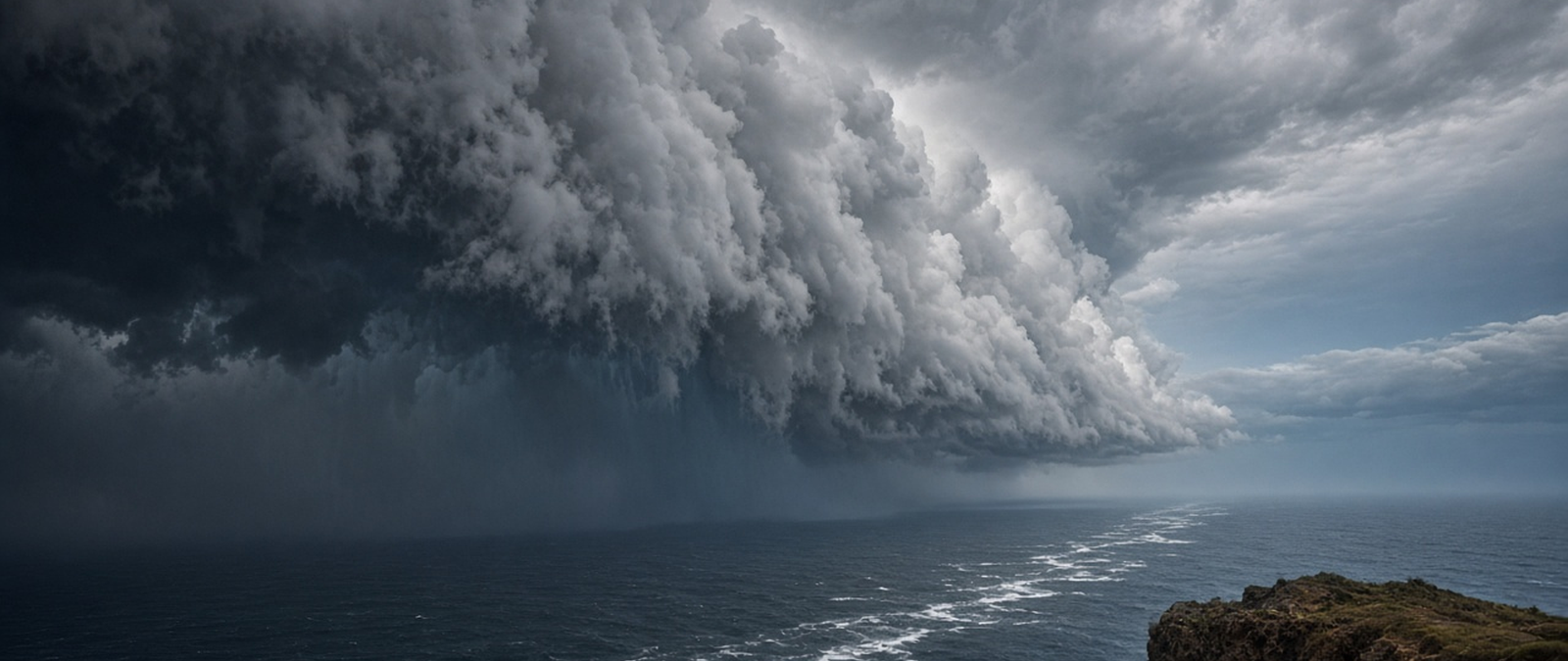
Monday’s weather and climate summary covers evacuations in India as a second cyclone in less than a week nears Andhra Pradesh, flash floods in Arizona and Colorado, overnight flood rescues in Mississippi, a storm set to bring severe weather to more than 35 US states and a drought relief request from the Indian state of Maharashtra.
India evacuates coastal residents as Cyclone Murasu nears Andhra Pradesh days after Arnab
Authorities in the Indian state of Andhra Pradesh began moving people away from the coast on Monday as Cyclone Murasu approached, less than a week after Cyclone Arnab struck the same region. Prakhar Jain, managing director of the state disaster management authority, said about 2,000 people had already been evacuated and that around 30,000 were due to be moved. The India Meteorological Department said Murasu had strengthened into a severe cyclonic storm over the Bay of Bengal, about 210 kilometres east-southeast of Nellore.
The weather agency expected the storm to cross the southern Andhra Pradesh coast near Ongole, between Nellore and Narsapur, late on Monday night or early on Tuesday, with sustained winds of 100 to 110 kilometres per hour and gusts of up to 120. It warned of a storm surge of one to 1.5 metres, highest in the Bapatla, Krishna and Prakasam districts. The airline IndiGo said bad weather had disrupted flights in Visakhapatnam, and Chief Minister Chandrababu Naidu cancelled a trip to Delhi to oversee preparations.
Arnab, a very severe cyclonic storm, made landfall in Andhra Pradesh on 28 October, killing six people and destroying dozens of homes and crops, after more than 180,000 people had been evacuated in the state and neighbouring Odisha. The Bay of Bengal is the most active part of the North Indian Ocean basin and has produced some of the deadliest cyclones on record; storms there form most often between April and June and between October and December. The Indian weather agency monitors the basin and names its storms.
Flash floods force evacuations in Sedona and a Colorado hot springs town as storms return to the Southwest
Heavy rain returned to the south-western United States on Sunday, after storms flooded parts of Colorado and Nevada last week, forcing mandatory evacuations in Sedona, Arizona, where Oak Creek rose to a record level and trapped residents in their homes. A Yavapai County spokesman said the evacuation area covered 100 or more homes, with residents of nearly 20 needing emergency help to get out, while Governor Katie Hobbs said state air crews were helping with rooftop rescues. No injuries or deaths had been reported by Sunday afternoon.
In Pagosa Springs, Colorado, officials said the flooding could be catastrophic, with the San Juan River expected to peak above 20 feet, higher than the level of about 17.8 feet reached in the 1911 flood that destroyed most of the town. Residents of low-lying areas were told to go to a shelter at a local church, and sewage had been discharged into the river. Arizona closed several highways, and the National Weather Service said up to 4 inches of rain could fall through Monday.
Forecasters said the rain was coming from a series of Pacific storms and that parts of the normally arid region were getting two or three months of rainfall in a couple of days. Pagosa Springs, the only incorporated town in Archuleta County, had 1,571 residents at the 2020 census and is known for hot springs beside the San Juan River. Oak Creek, a tributary of the Verde River, runs through a canyon between Flagstaff and Sedona and it is among the rare streams in northern Arizona’s high desert that flow all year.
Flash flooding in a Mississippi county leads to overnight rescues
Flash flooding struck Pearl River County, in southern Mississippi, overnight into Sunday, leaving several people in need of rescue. Jonathan Head, director of the county’s emergency management agency, said crews saved five people trapped in vehicles, while seven others asked for help leaving their homes as the water rose. Officials also received reports of flooding at eight homes, and the county’s fire rescue service and a joint search and rescue team worked through the night to help residents.
On Old Camp Road in Poplarville, resident Jordan Thomas said the water rose quickly at around midnight and washed away the culvert under his mother-in-law’s driveway. After moving his wife and daughter to safety, he said, he found a vehicle washed into a ditch and helped a man with his two young sons and two daughters, and he estimated that he helped about nine people escape the water. Crews spent Sunday morning repairing damage to Highway 43 between Mitchell Chapel Road and Buckbranch School Road.
Pearl River County, whose seat is Poplarville, had 56,145 residents at the 2020 census and forms part of the wider New Orleans metropolitan area; the present county was organised in 1890. On 29 August 2005, Hurricane Katrina caused heavy damage in Poplarville, where the storm’s strongest unofficial gust, 135 mph, was recorded. Flash floods are set apart from ordinary floods by the short time between rainfall and flooding, and in an average year they kill more people in the United States than lightning, tornadoes or hurricanes.
Cross-country storm threatens severe weather in more than 35 US states and a wet Election Day
A large storm crossing the United States is expected to bring severe weather, heavy rain and strong winds to more than 35 states this week, forecasters said. After drenching the Southwest, the system was forecast to move east of the Rocky Mountains on Monday, bringing severe thunderstorms to parts of Kansas, Oklahoma and north Texas later in the day as a cold front and a dry line push through. Forecasters warned of large hail, damaging gusts and possibly a few tornadoes.
On Tuesday the cold front is expected to bring a risk of damaging winds to Louisiana, Mississippi, Arkansas and Alabama, and the storm should reach the Upper Midwest on Wednesday before moving through the Great Lakes and Mid-Atlantic towards the Northeast. Local forecasts in its path said rain would arrive around midday on Election Day and turn heavy by the evening, with gusts of up to 35 mph and another 1 to 2 inches of rain. Heavy, wet snow is expected in the high mountains of the West.
The storm is drawing deep tropical moisture north from the Pacific. A dry line is a boundary between moist and dry air; in North America it is most prominent across Texas, Oklahoma and Kansas, where moisture flowing up from the Gulf of Mexico runs into drier desert air from the south-west, and it is an important factor in how often severe weather strikes the Great Plains. Thunderstorms generally form on its moist side, and such boundaries are most common in the spring, though they also drive severe storms in northern India and southern Africa.
Maharashtra asks India’s central government for drought aid for farmers after heavy crop losses
The government of the Indian state of Maharashtra has asked the central government for about 31,000 crore rupees to compensate farmers hit by drought, after an assessment found crop losses of more than 33 per cent on 14.15 million hectares of farmland. The proposal, sent on Saturday, covered 37,496 villages in 304 drought-affected talukas, or sub-districts, where 16.6 million hectares are under cultivation. The state had declared drought last month in 304 of its 358 talukas.
Under existing relief rules, farmers who lose 33 per cent or more of their crops are entitled to 8,500 rupees per hectare for rain-fed crops, 17,000 rupees for irrigated land and 22,500 rupees for perennial crops. The state has also begun transferring advance payments of 5,000 rupees to farmers in the affected talukas so that the money arrives before Diwali, after its cabinet approved the payment for around 15 million farmers. It plans a separate request for help with the coming rabi sowing season.
Indian farming depends heavily on the monsoon, and when the rains fail, water shortages lead to poor harvests; southeastern Maharashtra is among the country’s main drought-prone regions. Only about 35% of India’s farmland is irrigated, and two-thirds of cultivated land relies entirely on rainfall. Kharif crops such as rice, maize and cotton are sown with the monsoon rains and harvested around October and November, while rabi crops are grown in winter. Long dry spells during the kharif season have caused serious distress to farmers in recent years.