
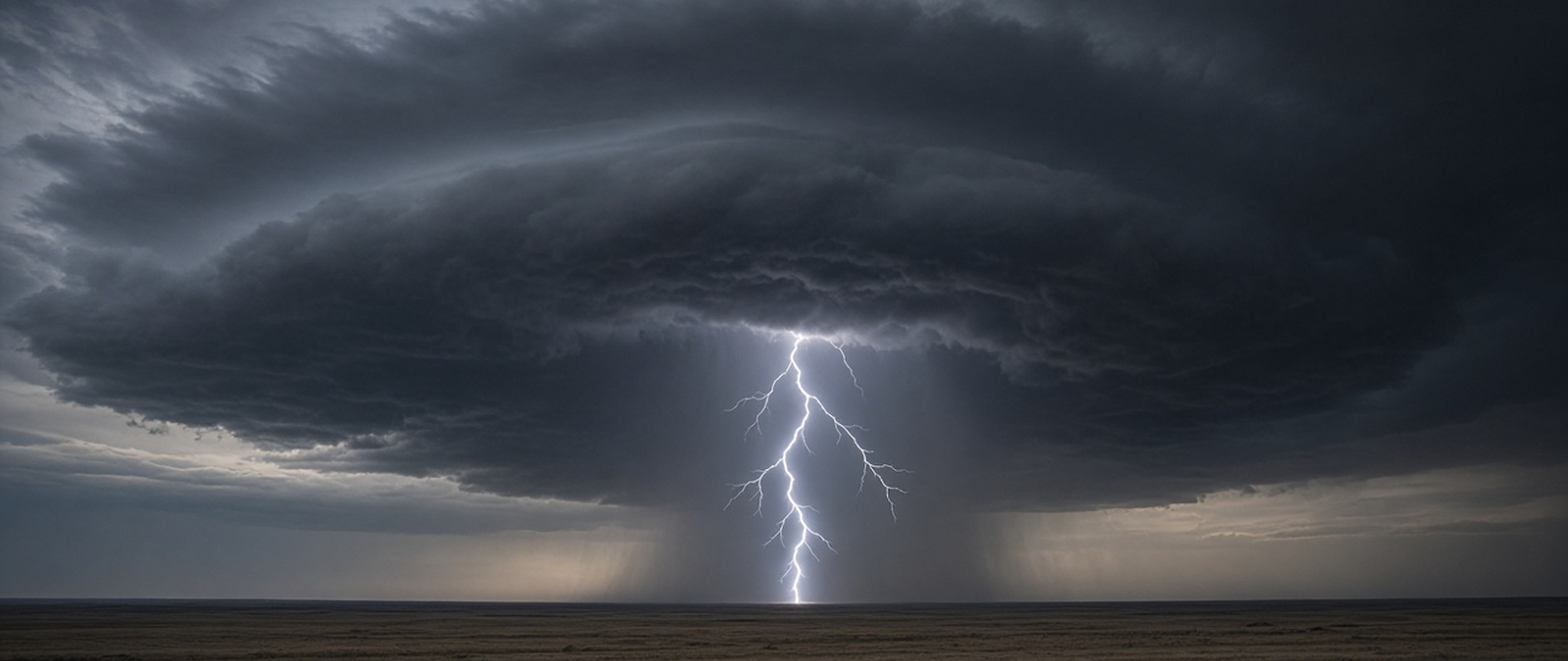
Today’s weather summary covers the first of a series of storms in Southern California, a Bay of Bengal low expected to become a cyclone, confirmed tornadoes in Delaware and New Jersey, severe thunderstorm warnings in South Africa and a dangerous storm outlook for eastern Australia this weekend.
First of a series of storms brings thunder, flooding and high surf to Southern California
The first of three storms forecast by the US National Weather Service reached Southern California on Friday, bringing thunder, lightning and periods of heavy overnight rain to parts of Los Angeles, Orange and Ventura counties. Forecasters expected a second system to arrive on Friday evening and last into Saturday morning, with rainfall totals of up to an inch in some places, before conditions dry out on Saturday afternoon and further storms move in during the coming week.
In Wilmington, five vehicles, including a lorry, became stuck in floodwater on Friday morning, although no one was hurt, the Los Angeles Fire Department said. A high surf advisory remains in force until Tuesday, with waves of 8 to 12 feet expected on west-facing beaches and 18 to 25 feet along the Central Coast, where forecasters warned of possible damage to piers. Santa Cruz County authorities issued evacuation warnings for low-lying coastal areas, and several state beaches were closed.
Heavy snow is forecast for the eastern Sierra, where up to a foot could fall over the weekend, and the snow play area at Big Bear opened on Friday as temperatures dropped. The wet season in Los Angeles normally runs from November to April, and 92% of the city’s annual rainfall falls between 1 November and 30 April, with most rain brought by disturbances that approach California from the west or north-west during the winter months.
Bay of Bengal low expected to become a cyclone as India and Sri Lanka prepare for rain
A low-pressure area that formed on Friday over the south-east Bay of Bengal is likely to strengthen into a depression around 15 November and into a cyclonic storm over the central Bay around the evening of 16 November, the India Meteorological Department said. The system lay over the central Andaman Sea and the Andaman and Nicobar Islands and was expected to move north-west at first. Fishermen were told to stay out of large parts of the Bay until 17 November.
Rain is forecast for parts of Tamil Nadu and Puducherry over the weekend and for Andhra Pradesh and Telangana over the next three to four days. Odisha’s disaster management minister, Suresh Pujari, said district collectors had been told to stay vigilant, and a yellow alert for heavy rain was issued for several districts from 18 November. In Sri Lanka, a disaster management alliance warned of flash floods and landslides, noting that soil was already saturated and about 17 major reservoirs had reached spill level.
The system follows concern raised earlier in the week over a new low forming in the Bay. In the North Indian Ocean, tropical cyclones can form throughout the year but are most frequent between April and June and between October and December. The India Meteorological Department is the regional centre that monitors the basin, issues warnings and names storms, and the coast of the Bay of Bengal is shared by India, Bangladesh, Myanmar, Sri Lanka and western Thailand.
Surveys confirm tornadoes in Delaware and New Jersey after mid-Atlantic storms
Storm survey teams have confirmed that at least one tornado touched down in New Castle County, Delaware, and another near Chesterfield in Burlington County, New Jersey, during Thursday’s severe weather in the mid-Atlantic United States, which had already brought tornado warnings, hail and flooding to the region. The Delaware tornado struck near Christiana Hospital in Newark, about 12 miles south-west of Wilmington. It was the first November tornado in the state since 1989.
The hospital operator ChristianaCare said its Newark site suffered minor damage and that it was checking its helicopters and helipads, adding that patient care was not interrupted. Near Philadelphia, hail piled up deep enough to strand drivers on Route 352 in Parkside, and front loaders were used to clear roads in Delaware County, Pennsylvania. Flight tracking data showed more than 800 cancellations and over 1,500 delays at airports in the Philadelphia and New York areas.
Survey teams are still examining the damage to map the tornadoes’ paths and assign ratings on the Enhanced Fujita scale, which measures tornado intensity by the severity of damage and has six categories from zero to five. Meteorologists say autumn brings a secondary severe weather season in the United States, as the jet stream dips south and lingering warmth meets colder air from the north, and long-range forecasters expect more severe weather in Florida this winter.
South Africa warns of severe weekend thunderstorms after a run of heatwaves
The South African Weather Service has warned of severe thunderstorms across eastern parts of the country this weekend, following a prolonged spell of heatwaves. Forecaster Lehlohonolo Thobela said Limpopo, Mpumalanga, KwaZulu-Natal, Gauteng, North West and the Free State could all see storms over Saturday and Sunday. An orange level 5 warning applies to the Highveld of Mpumalanga, the west of KwaZulu-Natal and the eastern Free State beyond Bethlehem.
A yellow level 2 warning covers eastern North West, Gauteng, southern Limpopo, the Mpumalanga Lowveld and central and eastern parts of the Free State. Thobela put the chance of showers and storms at 60% over North West, Gauteng and the eastern Free State, rising to 80% for the Mpumalanga Highveld and KwaZulu-Natal. He warned of heavy downpours that could cause localised flooding, as well as damaging winds, hail and excessive lightning, in municipalities including Albert Luthuli, Emakhazeni, eMkhondo and Govan Mbeki.
Thobela said most of the storms were expected over the Highveld and urged residents of the affected areas to take care. The weather service, a public entity and a member of the World Meteorological Organization, traces its origins to a meteorological commission set up at the Cape of Good Hope in October 1860 and took its current form under a 2001 law. It runs weather stations across South Africa, on Gough Island and Marion Island and in Antarctica, as well as radar covering most of the country.
Forecasters warn of dangerous thunderstorms across eastern Australia
Australia’s Bureau of Meteorology has warned of very dangerous thunderstorms across eastern parts of the country this weekend, from New South Wales, including Sydney, to southern Queensland. Senior forecaster Sarah Scully said storms on Saturday afternoon and evening could bring flash flooding, damaging winds and hail larger than 2cm, with Wollongong, Sydney, Port Macquarie, Tamworth, Moree, Warwick, Roma and Charleville among the places at risk. Parts of south-east Queensland had already received more than 100mm of rain.
Scully said a gusty southerly change reaching Sydney late on Saturday could set off an even bigger storm day on Sunday, with high-end supercell thunderstorms possible inland of Port Macquarie and Coffs Harbour, bringing hail larger than 5cm or wind gusts above 120km/h. South-east Queensland faces a similar threat on Monday. Forecasters are also watching a low-pressure system developing off the north coast of New South Wales, which could push moisture-laden air onto the coast.
The warning comes days after severe thunderstorms tore through the Logan area of Queensland on Wednesday, bringing down trees and ripping roofs from houses. Supercells are thunderstorms marked by a deep, persistently rotating updraft known as a mesocyclone, and they usually produce large amounts of hail, torrential rain, strong winds and downbursts, although 30% or fewer of them spawn tornadoes. Scully urged people not to risk their lives by driving through flooded roads.