
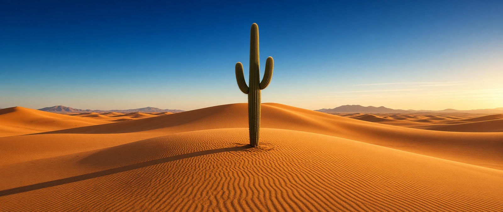
Researchers warn that deepening drought could wipe out some cactus species in the wild, storms return to eastern Australia after cutting power to tens of thousands of homes, the Atlantic hurricane season ends early, a nor’easter takes aim at New England and a stormy pattern lines up across the southern United States.
Study warns worsening drought could push cactus species towards extinction
Scientists from the University of Arizona and the University of South Florida have warned in a new study that some cactus species could become critically endangered if extreme drought keeps intensifying. The team modelled how long-term heat and drought would affect nearly 1,000 cactus species across the Americas, including the saguaro, and found that future generations could see far fewer of the plants in the American Southwest than exist today. The outlook grew worse once severe droughts were added to the climate models.
Michiel Pillet, one of the lead authors, said that with drought included the share of species classed as unwell, which he called patients, rose from about six in 10 to seven in 10, and that they were considerably sicker than previously believed. He said he was certain some species would be lost in the wild. Researchers have noticed cacti flowering less often, and those around the Phoenix area showed more signs of heat-related illness last year. Animals that rely on them for food and shelter would also suffer.
The saguaro, a tree-like cactus which grows wild in the Sonoran Desert of Arizona and Sonora in Mexico as well as parts of California, can grow to more than 12 metres and often lives beyond 150 years. It stores large amounts of rainwater, swelling visibly as it does so, which normally helps it survive dry spells. Considered a keystone species, it feeds and shelters many animals, and its blossom is the state wildflower of Arizona, where a national park was created in 1933 to protect it.
More severe storms hit Queensland and New South Wales after mass power cuts
More than 70,000 homes in south-east Queensland were still without electricity on Thursday morning after powerful storms tore through the region on Wednesday evening, bringing down trees and power lines across Brisbane and Logan. Emergency crews answered more than 320 calls for help, including 243 in Logan. Brisbane Airport recorded a gust of 96km/h, between 60 and 80 millimetres of rain fell in places, and a lightning strike set a house alight at Wongawallan, while a home under construction collapsed.
Across the border, outages hit more than 9000 customers in northern New South Wales at the peak, and crews had restored most of them by Thursday afternoon after more than 180 callouts. The Bureau of Meteorology warned of another round of severe thunderstorms on Thursday across south-east Queensland and north-east New South Wales, with damaging winds above 90 km/h, large hail and heavy rain that could cause flash flooding. More storms are forecast for Friday and over the weekend.
The bureau said a surface trough moving into inland Queensland would keep showers and storms going across a broad area into Sunday, with one model suggesting 50 to 100 mm of rain in central and south-eastern Queensland and eastern New South Wales. South East Queensland, which includes Brisbane, the Gold Coast and the Sunshine Coast, is home to about 4.0 million of the state’s 5.5 million people and is the third-largest urban area in Australia by population.
Forecasters declare the Atlantic hurricane season over three weeks early
Meteorologists at AccuWeather have declared tropical activity in the Atlantic over for the year, three weeks before the official end of the hurricane season on 30 November. Lead hurricane expert Alex DaSilva said El Niño had played a significant role in limiting storms and gave forecasters confidence that the United States would avoid further direct tropical impacts. He described an unusually quiet end to a season that broke a hurricane record of 121 years.
Only 10 named storms formed, the fewest since 2014, and just one became a hurricane: Isaias, which made a destructive Category 2 landfall on the Florida Panhandle in October. That had not happened since 1925. The season still caused damage, as Tropical Storm Arthur dropped more than 20 inches of rain in parts of the Gulf in June, with total losses estimated at $4 billion to $6 billion. AccuWeather had first forecast 11 to 16 named storms.
The season officially began on 1 June, and Isaias became its first hurricane on 8 October, tying the 1905 season for the latest first hurricane. Forecasters expect El Niño to keep shaping the winter, with the outlook from the National Oceanic and Atmospheric Administration pointing to warmer conditions in northern states and wetter weather across the South and the East Coast. Ken Graham, who heads the National Weather Service, said rain on dry soil could also bring flash floods and mudslides.
Nor’easter set to bring the season’s first significant snow to New England
A developing nor’easter is expected to lash the Interstate 95 corridor with heavy rain and gusty winds from Thursday while bringing the season’s first significant snow to higher ground in upstate New York and northern New England, forecasters said. Low pressure moving off the coast is due to strengthen on Friday as it tracks north near Long Island, with Philadelphia and New York City facing periods of heavy rain on Thursday night and travel disruption likely into Friday.
The heaviest snow is expected in the White Mountains of New Hampshire and Maine, Vermont’s Green Mountains and the Adirondacks, where 5 to 8 inches could fall, with up to a foot possible at the highest points. Valley cities such as Albany, Burlington and Manchester could see some snow, but no accumulation is expected along the I-95 corridor south of Maine. Cold winds over the warmer Great Lakes are also set to trigger lake-effect snow into the weekend before the storm moves away.
The storm follows forecasts earlier in the week of a late-week coastal system for the region. Nor’easters are large storms in the western North Atlantic named after the north-easterly winds they bring, and they typically form within 100 miles of the coast between North Carolina and Massachusetts. They develop most often and most strongly between November and March, when cold polar air from Canada meets warm ocean water, and can cause coastal flooding, erosion, hurricane-force winds or blizzards.
Pacific jet stream to send a run of storms from California to Florida
A series of storms is set to cross the southern United States from this weekend, as a southern jet stream carries moisture from the Pacific from Southern California through Texas and on to Florida, forecasters said. A large ridge of high pressure over the interior West is splitting the flow and cutting off an area of low pressure to the south. From Friday to Monday it will pull deep moisture into California and the desert Southwest, bringing early-season snow to the Sierra Nevada.
Winter storm watches are in force for the Sierra Nevada, while valleys and lower deserts in Southern California are likely to see widespread rain. The wet weather will then move into Texas, which has already had one of the wettest Novembers on record, with Corpus Christi, Austin and San Antonio facing the heaviest rain on Saturday and Sunday under a level 1 out of 4 flash flood risk. Florida could see torrential rain early next week.
Forecasters said an El Niño pattern was setting up across the Pacific, after a very wet autumn that produced historic rainfall totals in the Southwest. El Niño is the warm phase of a natural cycle in sea surface temperatures across the tropical Pacific, which switches with the cooler La Niña roughly every two to seven years and tends to peak during the northern hemisphere winter. Its shifts disrupt normal weather patterns, bringing intense storms to some regions and droughts to others.